Wageningse Berg
The Wageningse Berg is the southernmost part of the Utrechtse Heuvelrug, a range of hills reaching an altitude of 52m that originated as a glacial moraine. It lies just north of the Nederrijn and to the east of the town of Wageningen.
Read article

Top Questions
AI generatedMore questions
Nearby Places

Wageningen
Municipality in Gelderland, Netherlands

Operation Pegasus
Military evacuation after Battle of Arnhem (1944) during WW2

Wageningen University & Research
Agricultural university in Wageningen, Netherlands

Hotel de Wereld
Hotel where WWII Nazi German forces in Netherlands capitulated
Wageningen-Hoog
Township in Gelderland, Netherlands
O Mundo
Restaurant in Wageningen, Netherlands

World Soil Museum
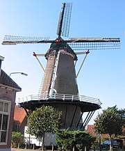
De Vlijt, Wageningen